
microSD™/SD™ card: VEU722L - Europe Atlantic Coast

microSD™/SD™ card: VEU722L - Europe Atlantic Coast
Premier charts
- Provides exceptional coverage, clarity and detail with coastal charts that feature integrated Garmin and Navionics® data
- Auto Guidance1 technology quickly calculates a suggested route by using your desired depth and overhead clearance and provides a suggested path to follow
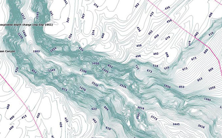
- Certain areas offer Relief Shading (downloadable via the ActiveCaptain App), which combines colour and shadow to give you an easy-to-interpret, clearer view of bottom structure
- Includes Depth Range Shading for up to 10 depth ranges, enabling you to view your target depth at a glance
- Up to 30 cm (1 ft) contours provide a more accurate depiction of the bottom structure for improved fishing charts
- To give a clear picture of shallow waters to avoid, the Shallow Water Shading feature allows for shading at a user-defined depth
Experience unparalleled coverage and brilliant detail when you're on the water. BlueChart® g3 Vision charts provide industry-leading coverage, clarity and detail with integrated Garmin and Navionics content.
Auto Guidance
Whether you are fishing or cruising, select a spot, and get a route showing you the general path and nearby obstructions at a safe depth1.
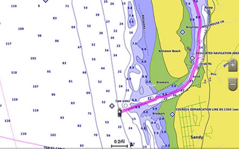
Relief shading
Available for the U.K., Ireland, Belgium, France, Germany, the Netherlands and Norway, this exceptional shading feature combines colour and shadow to give you an easy-to-interpret view of bottom profile, making it easy to find artificial reefs, underwater shelves and more. Relief Shading is available via download from the ActiveCaptain® app.
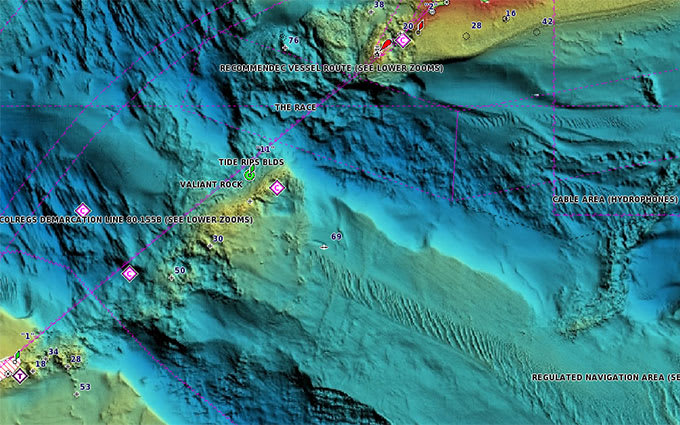
Depth Range Shading
This feature displays high-resolution Depth Range Shading for up to 10 depth ranges so you can view your designated target depth.
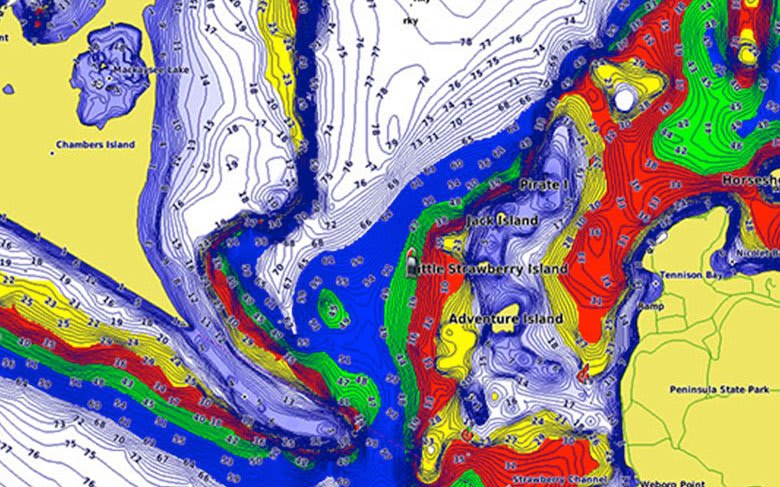
Shallow Water Shading
To give a clear picture of shallow waters to avoid, this feature allows for shading at a user-defined depth.
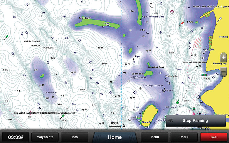
Detailed contours
BlueChart g3 charts feature 30 cm (1 ft) contours that provide a more accurate depiction of bottom structure for improved fishing charts and enhanced detail in swamps, canals and port plans.
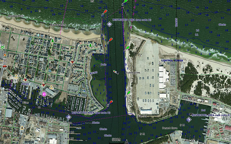
High-resolution satellite imagery
High-resolution satellite imagery with navigational charts overlaid gives you a realistic view of your surroundings. It's our most realistic charting display in a chartplotter — ideal for entering unfamiliar harbours or ports.
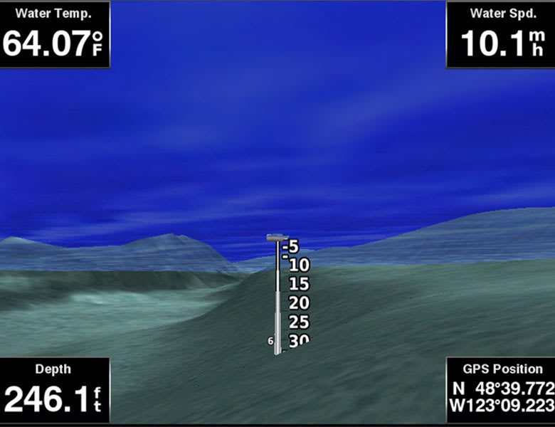
FishEye view
This underwater perspective shows 3D representation of bottom and contours as seen from below the waterline. Interface with sonar data for a customised view.
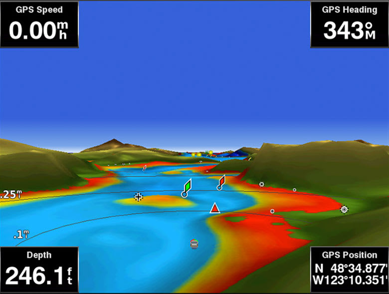
MarinerEye view
This view provides a 3D representation of the surrounding area both above and below the waterline.
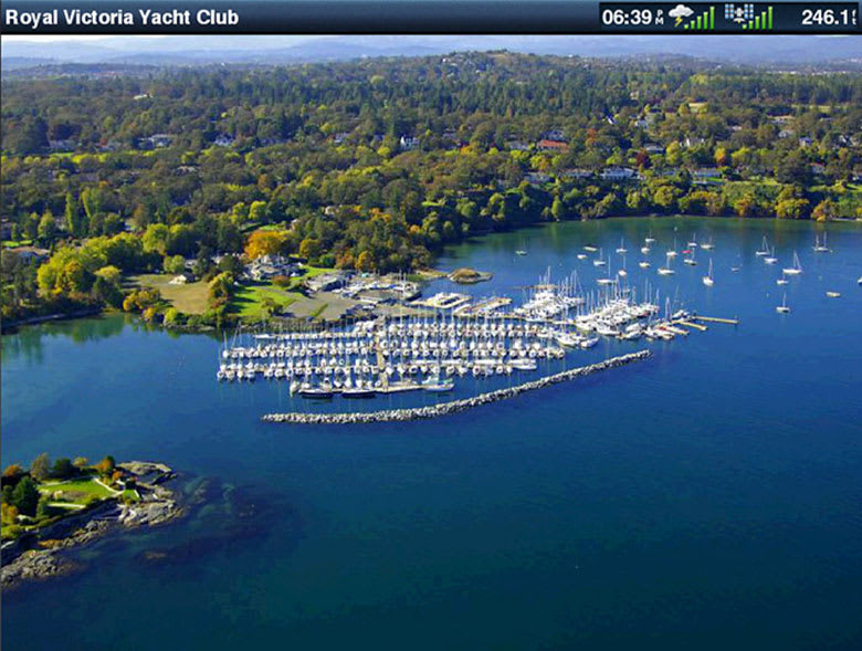
Aerial photography
Crystal-clear aerial photography shows exceptional detail of many ports, harbours and marinas and is ideal when entering unfamiliar ports.
BlueChart Feature Comparison
|
Feature |
BlueChart g3 Vision | BlueChart g3 |
|---|---|---|
| Integrated Garmin and Navionics content | • | • |
| Auto Guidance¹ technology | • | • |
| Depth range shading | • | • |
| Up to 1' contours | • | • |
| Shallow water shading | • | • |
| Raster cartography² | • | • |
| High-resolution relief shading | • | |
| Unique 3-D views | • | |
| High-resolution satellite imagery | • | |
| Aerial photos | • |
Download Requirements
File Information
The file size of this download and space required on your microSD™/SD™ card is 481.38 MB. It is not recommended that this download be loaded directly to your device. It only can be loaded to a prepared or blank microSD/SD card (recycled microSD cards may be used to program map data).
Up to 500 MB of additional space may be required for software updates.